Throughout June and July our Pathways to History project has been making steady progress, with the results of fieldwork surveys coming in from all over the county. We’ve also been invited to visit a number of parishes to take part in walks with local groups, making the most of an unusually hot and dry summer. Back in June we went to Felmingham and Beachamwell, parishes at opposite ends of the county but with some similarities in landscape terms due to their sandy soils and heaths. Until the nineteenth century many of Norfolk’s heathlands were criss-crossed by dense networks of tracks, many of which disappeared as parishes were enclosed. Walking from Felmingham church to Bryant’s Heath we followed one such track (now a public footpath) which has survived, crossing the heath and then leading on towards North Walsham. A number of other tracks can also be seen on the heath, some of them significantly sunken.

The landscape around Beachamwell, as with many parts of Breckland, is today dominated by large scale agriculture. However, it is also covered by an extensive network of footpaths, the history of which is currently being researched by a group of local people working with the CPRE. We enjoyed an atmospheric late evening walk around some of these paths and lanes via Shingham and what was once Beachamwell rabbit warren. Once again we were struck by the richness of some of the lanes in terms of ancient trees and boundary earthworks, in a landscape more readily associated with the hawthorn hedges and conifers of modern fields and plantations. Beachamwell contains numerous important archaeological sites and it will therefore be interesting to see how the routeways within the parish have both influenced and been shaped by past activity.


At the start of July we spent a morning exploring paths and lanes in Reepham, along with 30 eager assistants from Reepham Primary School’s year 3 class, the Avocets. Our walk included a very impressive holloway between Mill Road and Whitwell Road (see below) and an oak pollard on Back Lane with a circumference of 7 metres. The class provided plenty of thoughtful observations and more than a few challenging questions!
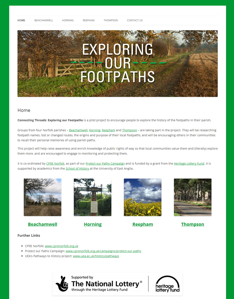
In addition to working on the Pathways to History project Reepham and Beachamwell (along with Thompson and Horning) are also taking part in the CPRE’s Connecting Threads: Exploring Our Footpaths project, which aims to “raise awareness and enrich knowledge of public rights of way so that local communities value them and (literally) explore them more, and are encouraged to engage in monitoring and protecting them”. You can find out more on the project website.
Our most recent visit was to the parish of Carbrooke, one of many splendid examples in Norfolk of a small village with an enormous parish church. In the field to the south of the church are the earthwork remains of the commandry or preceptory of the Knights of St John. As with Beachamwell, it will be interesting to see what connections can be made between such a significant site and the current pattern of roads, lanes and paths in the parish.


